|
It depends on what direction you are
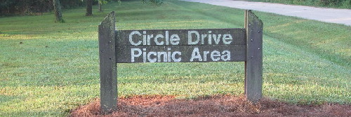
coming in from, but the following directions and maps to Forbes State Park will lead you to the
Circle Drive Picnic Area where our 3D course
is located.
From Kinmundy
1. From Route 37 in Kinmundy, head east on the Kinlou Road, cross the railroad tracks, and continue
heading east for 1.6 miles to Sullivan Road.
2. Turn right (south) on Sullivan Road and travel 1.8 miles to Almany Road.
3. Turn left (east) on Almany Road (and eventually back south) for 1.5 miles to Omega/Williams
Road.
4. Turn left again (east) at Omega/Williams Road and follow it 1.4 miles until you reach the
west entrance of Forbes State Park.
5. Enter the park and turn right at the four-way stop. Follow this road past the marina entrance
until you reach the Circle Drive Picnic Area.
View Larger Map
From Salem
1. Head east out of Salem on Route 50 and travel 8.4 miles to the Omega Road.
2. Turn left (north) on Omega Road and travel 6.9 miles through the village of Omega and on to
the west entrance of Forbes State Park.
3. Turn right into the park entrance and turn right again at the four-way stop. Follow this road
past the marina entrance until you reach the Circle Drive Picnic Area.
View Larger Map
From Louisville
1. Head west out of Louisville on the Kinlou Road and travel 10.1 miles to Meacham Road.
2. Turn left (south) onto Meacham Road and travel 3.6 miles until you reach the east entrance
of Forbes State Park.
3. Enter the park and turn left. Follow this road across the dam and continue along the winding
road around the lake until you reach the Circle Drive Picnic Area.
View Larger Map
From Flora
1. Head west on Route 50 out of Flora and travel 2.8 miles to the Xenia/Iola Road.
2. Turn right (north) on the Xenia/Iola Road and travel 4 miles to Redwood Lane.
3. Turn left (west) on Redwood Lane and travel 3.1 miles to Beard Road.
4. Turn right (north) on Beard Road and travel 312 feet to Wilcoxen Road.
5. Turn left (west) on Wilcoxen Road and travel 2.6 miles to Meacham Road.
6. Turn right (north) on Meacham Road and travel a short distance until you reach the east entrance
of Forbes State Park.
7. Enter the park and turn left. Follow this road across the dam and continue along the winding
road around the lake until you reach the Circle Drive Picnic Area.
View Larger Map
|